SOUTH JERSEY — A powerful round of thunderstorms swept across South Jersey Thursday, producing tornado warnings in Atlantic and Cape May counties, an observed waterspout near North Cape May and torrential rainfall that approached 5 inches in parts of Atlantic County.
The severe weather began causing concern in Atlantic County late Thursday afternoon.
The National Weather Service issued a tornado warning for south-central Atlantic County at 4:38 p.m. after radar detected rotation in a severe thunderstorm near Estell Manor.
The warning included Pleasantville, Northfield, Linwood, Estell Manor, Corbin City and English Creek.
By 4:58 p.m., the area of radar-indicated rotation had moved over English Creek, about eight miles north of Ocean City, and was moving northeast at approximately 20 mph.
No tornado was confirmed on the ground in Atlantic County.
Atlantic City itself remained under a tornado watch while city officials alerted residents to the tornado warning affecting nearby communities.
The weather turned particularly dramatic later Thursday evening in Cape May County.
A waterspout was observed just offshore near North Cape May as another powerful thunderstorm moved across the Delaware Bay and toward the Jersey Shore.
The National Weather Service issued a tornado warning for Cape May County shortly after 7:15 p.m. as the storm moved east.
The warning included Cape May, North Cape May, West Cape May, Wildwood, Wildwood Crest, North Wildwood, Stone Harbor, Avalon, Villas, Erma, Rio Grande, Cape May Court House, Diamond Beach and surrounding areas.
At the time of the warning, the storm was moving east at approximately 40 mph.
The warning was classified as an observed tornado threat after the waterspout was spotted near the coast.
The National Weather Service warned residents to immediately move to a basement or an interior room on the lowest floor of a sturdy building and stay away from windows.
The waterspout was particularly noteworthy because Cape May County experienced a similar event only one month ago.
On July 21, the National Weather Service confirmed that a waterspout over Delaware Bay moved ashore at Cape May Point and briefly became an EF-0 tornado. That tornado produced estimated peak winds of 80 mph but caused only minor damage.
Thursday's storms also produced extraordinary rainfall in Atlantic County.
A trained weather spotter reported 4.95 inches of rain approximately two miles southeast of Mays Landing by 8:30 p.m., according to a preliminary National Weather Service storm report.
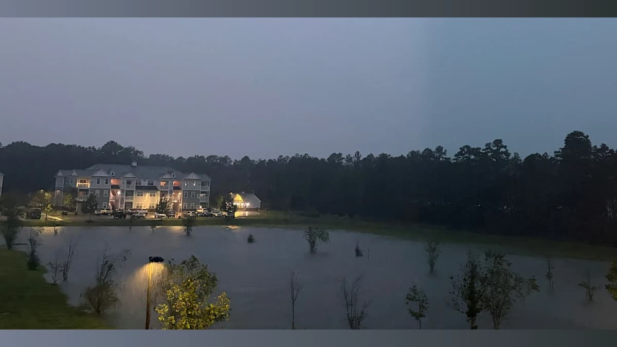
The heavy rain prompted flash-flood concerns across the region as thunderstorms repeatedly moved through portions of South Jersey.
The combination of saturated roads, standing water and continued rainfall created potentially dangerous driving conditions Thursday evening.
Thursday's severe weather was part of a larger storm system affecting New Jersey, Pennsylvania and Delaware. A tornado was reported in Delaware, while severe storms produced additional tornado warnings and flash flooding throughout the Philadelphia region.
For South Jersey, however, the most dramatic images of the night came from Cape May County, where the waterspout could be seen as the storm moved in from Delaware Bay.
Whether the circulation officially reached land as a tornado will ultimately be determined by the National Weather Service.
South Jersey NewsBeat will update this story if the National Weather Service confirms a tornado or if significant storm damage is reported.

About the Author
Karen Johnson
With over 30 years of news experience in major markets like Los Angeles, Denver, and Columbus, Karen now covers our area for South Jersey NewsBeat. She also brings her articulate and conversational news delivery to WOND radio listeners every weekday. Her background includes work with the NBC Radio Network, and she thrives in fast-paced news environments.