A new artificial intelligence capability rolled out by Google on Thursday has triggered widespread alarm among journalists, researchers, and open-source investigators who depend on satellite imagery to distinguish fact from fiction in an increasingly digital world.
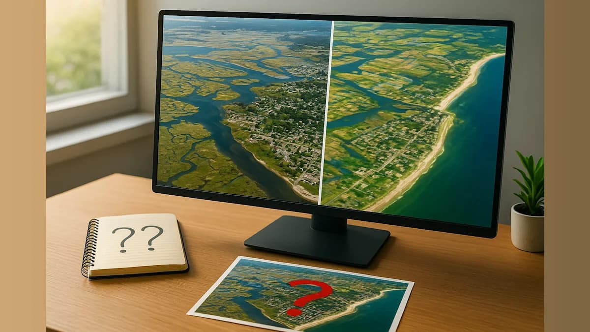
The technology giant unveiled a feature on its Google Earth platform that enables users to create AI-generated satellite images through a simple process. Product manager Bryan Horowitz described the tool as designed to work with users' imaginations, instructing them to zoom into a location on Google Earth's web interface, tap a button labeled "create image," and type whatever scene they wish to visualize.
The capability immediately raised red flags among professionals who use satellite imagery as a cornerstone of verification work. NPR demonstrated the tool's potential for misuse by generating fabricated images showing Iran's Kharg Island engulfed in flames and the U.S. Capitol complex underwater from flooding. Neither scenario has occurred, yet both would constitute significant breaking news if authentic.
Henk van Ess, an open-source researcher who initially documented the tool's risks, tested its boundaries extensively. "I tried refugees at the Mexican border, a nuclear plant in Iran, a crash in Amsterdam, a hospital with a bomb crater in Gaza. Nothing was refused," van Ess told NPR via text message.
Visual forensics investigator Evan Hill of the Washington Post questioned the company's internal review process on the social media platform X. "Very curious how or if this idea was red teamed internally because the opportunities for abuse and disinfo are literally boundless," Hill wrote on July 30, 2026.
Satellite Imagery as Truth Verification
As artificial intelligence-generated content proliferates across the internet, satellite imagery has emerged as a critical tool for establishing ground truth. Open-source investigators have employed satellite photographs to confirm events occurring in remote or inaccessible locations and to provide context for videos and images circulating on social media platforms.
While Google Earth imagery does not always reflect the most current conditions, its comprehensive, high-resolution coverage of the planet serves as essential reference material for investigators analyzing both ground-level photographs and more recent satellite captures from other sources.
Jake Godin, a senior researcher with Bellingcat, an organization specializing in visual forensic investigations, explained the historical reliability of satellite imagery. "Satellite imagery has been kind of a safe bet when it comes to verifying an event because it's hard to fake," Godin told NPR. The images typically originate from companies or institutions, and their source—cameras positioned hundreds of miles above Earth's surface—has traditionally been difficult to replicate convincingly.
Previous Cases of Fabricated Imagery
Godin acknowledged that fraudulent satellite imagery has already surfaced in isolated instances. During the early stages of the U.S.-Israel conflict with Iran, fabricated images circulated through Iranian media purporting to show damage at a U.S. military base in Bahrain. Those images appeared to combine Google Earth imagery with Google AI technology to generate false damage at the facility. Authentic satellite photographs later confirmed that the base had sustained damage, though not in the manner depicted in the manipulated images.
The consolidation of tools necessary to produce AI-generated satellite imagery into a single-click interface threatens to dramatically accelerate the creation of such fabrications, according to Godin. "It's just streamlining the process, which I think is going to make it proliferate more," he stated.
Godin expressed concern that the proliferation of counterfeit images will compound existing problems with confusion and misinformation. "Misinformation travels further and faster than any sort of correction," he noted. Additionally, governments may increasingly claim that authentic satellite images are fabricated, further eroding public confidence in legitimate evidence.
Company Response and Community Reaction
Google did not immediately provide a response to NPR's request for comment regarding the decision to launch the feature. However, in a statement posted on X, the company asserted that it "takes misinformation seriously." The company indicated that all generated images bear its SynthID watermark, which ensures the content will be identified as AI-generated within other Google tools such as Gemini. "In addition, we prevent image creation on harmful topics and are continually updating our protections," the statement read.
The assurances provided little comfort to members of the open-source investigation community. Van Ess found the situation particularly troubling given Google Earth's longstanding reputation as one of the most reliable tools for verifying information shared on social media platforms.
"The fake is made inside the thing people use to check whether pictures are true," van Ess said, summarizing the fundamental problem with embedding AI generation capabilities within a verification platform.