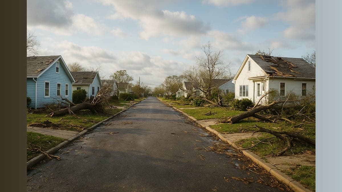
Our community is picking up the pieces today after a violent afternoon of severe weather brought multiple tornadoes to New Jersey. National Weather Service teams fanned out across the state Wednesday morning to assess the damage and determine the strength of the twisters that touched down during Tuesday's storms.
The NWS Mount Holly station confirmed three separate tornado events across the state. Survey teams are focusing their efforts on two locations today: the Parsippany-Troy Hills area in Morris County and Stanhope in Sussex County. Video footage from both areas revealed significant damage to structures and vegetation.
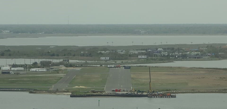
In Cape May, officials have already completed their assessment, confirming an EF-0 tornado that began its life over the water as a waterspout before moving onshore. The tornado made landfall for approximately one minute at Cape May Point, with peak winds estimated between 60 and 70 miles per hour. The twister carved a path of 0.3 miles before dissipating. Fortunately, no injuries were reported from this event.
The National Weather Service is expected to release complete reports on the Morris and Sussex County tornadoes by Wednesday night. These assessments will include Enhanced Fujita Scale ratings, which measure tornado intensity based on the damage they cause. The EF scale ranges from EF-0 (weakest) to EF-5 (most severe).
Tuesday's severe weather system triggered numerous tornado warnings as it swept through the region. At one point, the entire New York City metropolitan area was placed under a tornado watch, a relatively rare occurrence that underscored the severity of the atmospheric conditions.
Beyond the tornado damage, the storm system brought dangerous flash flooding to parts of northern New Jersey. In Hackensack, floodwaters briefly trapped a driver in his vehicle, forcing him to escape through the car window as waters rose around him.
Despite the widespread severe weather and dramatic scenes of destruction, there were no immediate reports of storm-related injuries across the region — a fortunate outcome given the intensity of Tuesday's weather event.
Residents in affected areas should remain alert for additional updates from the National Weather Service as survey teams complete their damage assessments. Those who experienced property damage should document it thoroughly for insurance purposes and report it to local emergency management officials.

About the Author
Karen Johnson
With over 30 years of news experience in major markets like Los Angeles, Denver, and Columbus, Karen now covers our area for South Jersey NewsBeat. She also brings her articulate and conversational news delivery to WOND radio listeners every weekday. Her background includes work with the NBC Radio Network, and she thrives in fast-paced news environments.